Article Courtesy: wlrn.org | Originally Published: August 5, 2019 | By: Jenny Staletovich | Please click here for original article.
A new study from the National Oceanic and Atmospheric Administration looking at 20 years worth of data on pollution has found a new risk threatening Biscayne Bay: “regime change.”
The study, published this month in the journal Estuaries and Coasts looked at water monitoring throughout the bay between 1995 and 2014. The data showed parts of the bay, one of the only places on the planet inhabited by all seven species of seagrass, gradually filling with chlorophyll and phosphorus. The pollution coincided with a cascade of worsening conditions,from spreading seagrass die-offs to persistent algae blooms.
That suggests the bay’s lush seagrass meadows and clear water could disappear in a soup of nutrient-rich green water and clumps of thick algae, and undergo what scientists call a regime change.
“Those are warning signs that it’s already starting to happen,” said Chris Kelble, a co-author and oceanographer at the NOAA’s Atlantic Oceanographic and Meteorological Lab on Virginia Key. “My personal feeling is that we’re already getting pretty close.”
Once a water body switches, he says, it’s almost impossible to switch back.
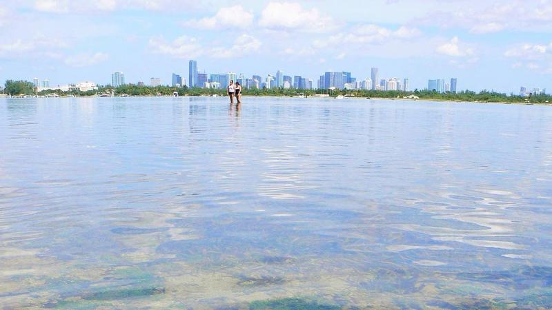
Biscayne Bay has lost at least 21 square-miles of seagrass.Credit Miami-Dade CountyEdit | Remove
Kelble said he started to notice warning signs in 2014 when an algae bloom errupted in the south end of the bay. In 2015, alarmed by the trend, NOAA designated the bay a special study area to try to get in front of the problems. There are only 10 such areas nationwide.
“The first step in that process is to understand what’s going on, which is why we undertook this study,” he said.
The data came from 48 stations monitored by NOAA, the South Florida Water Management District, Miami-Dade environmental regulators and Florida International University. It included only stations with at least 10 years’ worth of data. It showed the highest spike in nutrients inshore, and in enclosed areas like the north end’s Tuttle Basin.
While researchers didn’t pinpoint the sources of pollution, they say the location suggests pollution from land as the likely culprit.
“It was increasing most prominently in the nearshore areas and in the northern part of the bay where circulation is restricted, so it really pointed to nutrient sources from the watershed,” he said.
Based on the findings, NOAA is helping to advise cities ringing the bay on better pollution control practices – like fertilizer use, leaky septic tanks and stormwater drainage – to improve conditions.
“When you switch from seagrass beds to essentially green water, it’s very tough…to go back to seagrass beds,” Kelble said. “It takes a much bigger reduction in nutrients to get back to seagrass beds than it does to just keep the seagrass beds as they are.”
[/et_pb_text][/et_pb_column][/et_pb_row][/et_pb_section]


