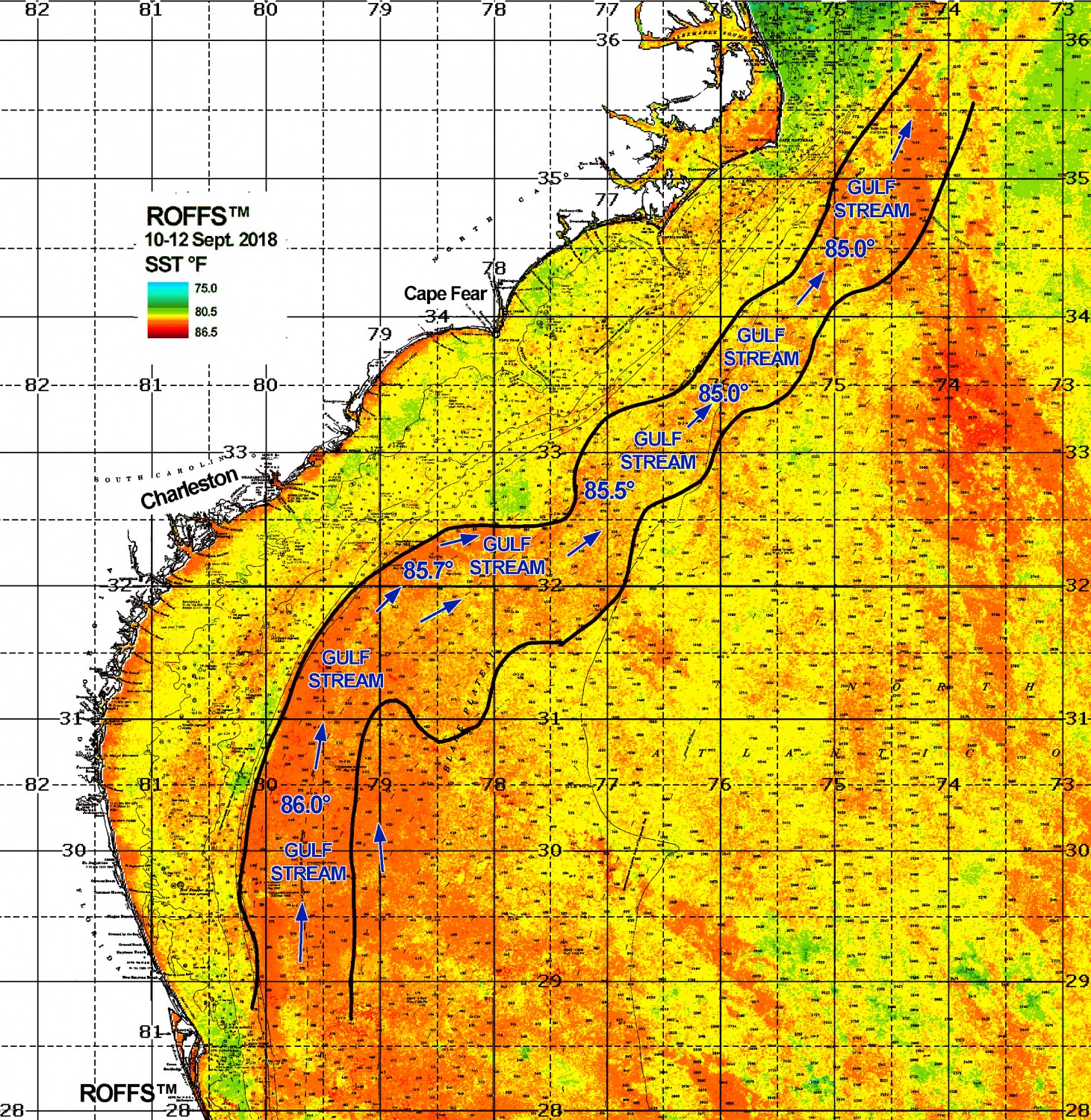
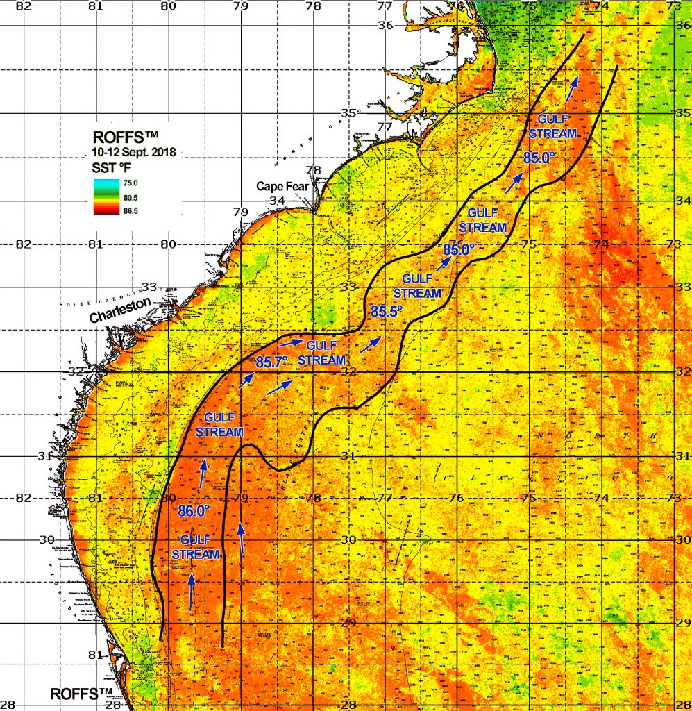
First and foremost our thoughts and prayers are with those on the East Coast where Hurricane Florence is causing serious human and environmental impact. We hope the damage is as minimal as possible. ROFFS™ is affiliated with and is assisting the Southeast Coastal Ocean Observing Regional Association (SECOORA) https://secoora.org/ in monitoring Hurricane Florence (https://secoora.org/eyes-on-hurricane-florence-data-resources/). This images shows the Sea Surface Temperature (SST) composite from two to three days before Florence hit the Carolinas. Of note is the Gulf Stream warmer temperature of 85.0°F off of North Carolina and 85.7°F off of South Carolina and all waters that came into contact with the path of Florence are between 83.0°F to 86.0°F. Also of note is the SST difference of only 1.0°F to 2.0°F between the core of the Gulf Stream and surrounding waters making it difficult to distinguish the main Gulf Stream edges. Hence, we provided a rough outline of the eastern and western Gulf Stream edges (black) and put some spot SST for reference. ROFFS™ will continue to monitor the ocean conditions post Florence to see how the coastal flooding, runoff and wind mixing changes the oceanographic conditions.
Shipping, Tow, and Rig Move Forecasts
Current and Eddy Forecast Samples


