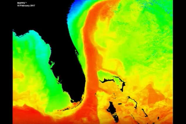
Short looping video using high-resolution infrared SST HRPT satellite imagery (one composite image per day) showing the ocean conditions covering southern US – GA-SC southward to Cuba including the Bahamas. Time period January 21 – February 10, 2017.
Shipping, Tow, and Rig Move Forecasts
Current and Eddy Forecast Samples


